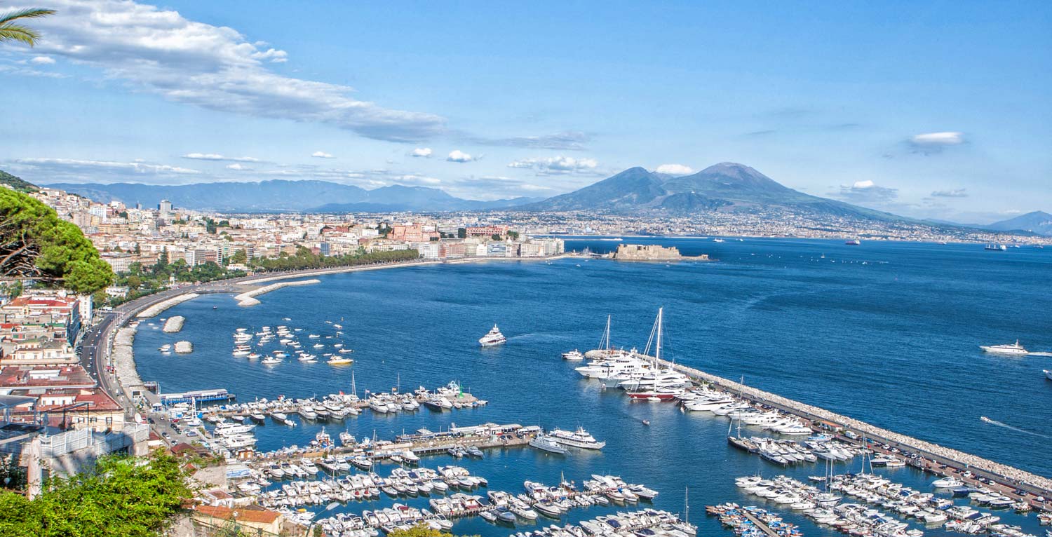
Recovery of the port – city relationship, development of commercial and passenger traffic and improvement of the efficiency of the Port, safeguarding the quality of the environment and the landscape.
Client: Port Authority of Naples
Period of implementation: 2004/2012
Total value of works: Euro 523.000.000
Value of our services Euro 798.000
The Port of Naples is a site of primary importance in the trade system for Central and Southern Italy. It handles approximately 22 million tons of cargo including solid bulk cargo (20%), liquid bulk cargo (25%), containers (27%) and Ro-Ro traffic (28%).
In addition, there is the passenger traffic partly regarding connections with the islands of the Gulf of Naples, and partly cruise ships. The updating of traffic forecasts made in the Planning Scheme estimate that in the medium term (2025), with an increase in cargo handling between 28 and 32.5 million tons with an average variable increase factor between 1.28 and 1.5%. The increase mainly regards container traffic, which at the maximum threshold, will be more than double the current value.
In the light of the growth prospects set forth, the Planning Scheme of the Port of Naples pursues the following general aims:
-
recovery of the port – city relationship;
-
development of commercial and passenger traffic and improvement of the efficiency of the Port, safeguarding the quality of the environment and the landscape.
With reference to Art. 4 of Law 84/94, the Port Planning Scheme includes the following types of use:
- commercial function (containers, general cargo, solid and liquid bulk cargo);
- shipbuilding function;
- industrial function;
- mixed function;
- passenger function (cruise ships, fast vessels for passenger transport);
- passenger and cargo function (cruise ships, fast vessels, Ro-Pax and Ro-Ro);
- general port activities.
The Planning Scheme of the Port of Naples, having identified the reference territory, has divided it into districts, taking into account the fact that the western part of the port territory, extended from the jetty “S. Vincenzo” to jetty “Del Carmine”, corresponds to the “historic port”, located in the city and permeable with it, while the eastern portion, extending from the aforesaid jetty “Del Carmine” in the west, to the jetty in the east, consists in the “operational port”, closed to the city due to operational and internal security factors.
The Historic Port district thus entirely covers the oldest part of the Port of Naples, i.e. the Historic Port, while the shipbuilding area, jetty area and eastern area form the operational port; each district is characterized by a different propensity to change, minimum in the case of the Historic Port, maximum in the case of the operational port.
The Planning Scheme of the Port of Naples proposes the port layout described below.
- The historic port district extends from the jetty “S. Vincenzo” in the west, to the Granili dock in the east, and is a customs area. It is to be used for the passenger functions, cruise ships and fast vessels for passenger transport, designed to host activities and services compatible with urban ones. In this respect, besides enlarging the mooring facilities, the Plan calls for the reconfiguration of the on-shore areas, maintaining the continuity with the nearby urban structure, so that this portion of port area will form the natural continuation of the city towards the sea. The Port Planning Scheme likewise includes the recovery and improvement of the historical structures located in this district.
- The shipbuilding district extends from the jetty “Del Carmine” in the west to the Marinella dock in the east, and is a customs area. It is assigned for the ship building function and for related activities. The western part of the operational port area starts with this district. The Plan encourages the strengthening of the function, also involving a process of concentration of the shipbuilding activities currently situated in other districts, with the construction of new mooring facilities and the increase in dedicated on-shore areas.
- The jetty district extends from the Vittorio Emanuele quay in the west, to the Pollena dock in the east, and is a customs area. It is dedicated to commercial functions (general cargo and passengers-cargo), as well as to port services. The passenger and cargo functions are important, and are to be strengthened in this district due to the undoubted advantage of the proximity of road and rail connections with the national networks. In this district, the Plan thus provides for the reorganization of the existing structures, with the increase of the number of moorings and dedicated on-shore areas. This district will likewise be dedicated to the port services function, for which the Port Planning Scheme must define a suitable location.
- The eastern district is located between the Vigliena quay in the west, and the quay in the east; it is a customs area and completes the operational port on the east. It is dedicated to commercial functions, containers and liquid bulk cargoes, and industrial functions, and plays a key role in the transformation of the Port. In order to allow the increase of moorings and on-shore areas dedicated to the aforesaid functions, the Plan provides for the transfer of the existing oil terminal, the filling of that dock and then the extension of the eastern Container Terminal. This will make it possible to concentrate in this district the container traffic currently undertaken elsewhere in the Port (jetty area, Bausan pier) using the mooring places and the areas freed for other functions (passengers – cargo).
For each district of the historic port, the conversion prospects described involve the overhaul of the pedestrian and road access system, as well as parking facilities, while, for the shipbuilding area, jetty area and eastern area (operational port), the revision of road and rail connections to the national network is required, as well as the construction of a railway yard inside the Port in order to improve it for the planned increase in on-shore traffic flows.


